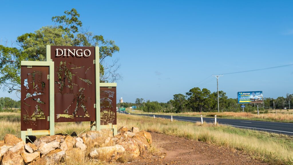
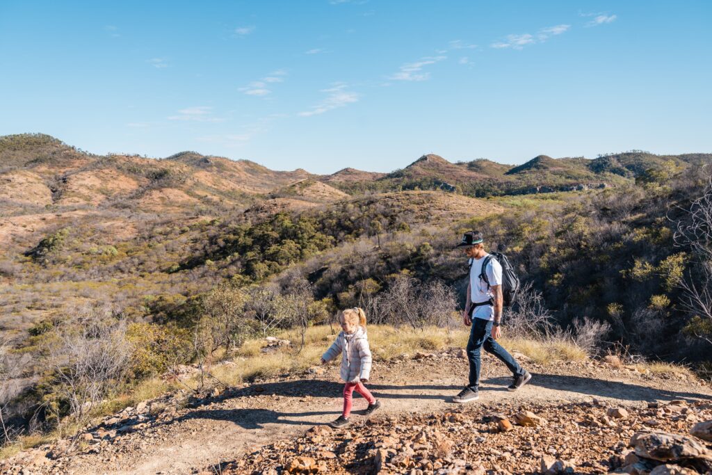
The welcoming gateway to the Central Queensland Highlands, Duaringa dates back to the 1870s.
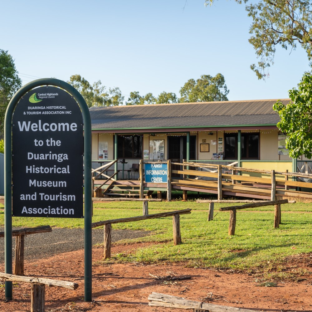
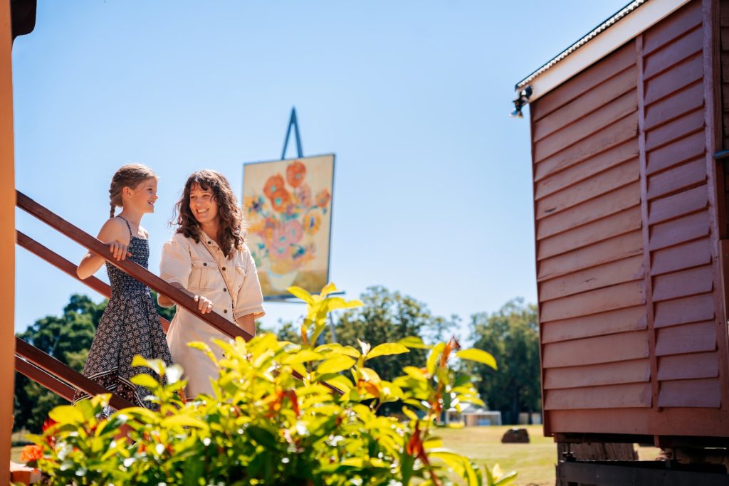
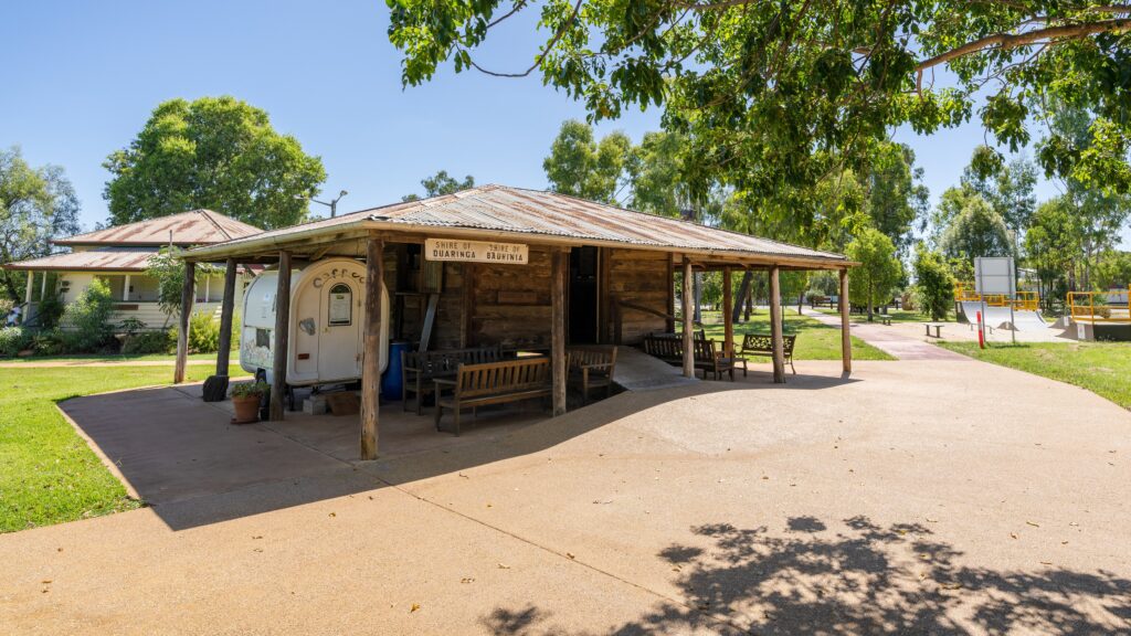
Duaringa’s Historical Museum and Tourism Information Centre is easily spotted from the Capricorn Highway by a huge mural, painted by local artists, depicting the meeting of the Dawson and Mackenzie Rivers to become the Fitzroy River.
Inside you’ll find:
- A small museum of historical pieces donated by local residents
- Locally-made arts and crafts available to purchase
- Fresh, locally-grown produce, like honey, pumpkin, eggs, chutneys and jams, depending on the time of year.
- Book exchange
- A range of visitor information and brochures, including a pocket guide to follow the historical trail around the Duaringa township
Open daily from 9:00am to 2:00pm April to October. When volunteers operate the centre outside these hours, the red ‘open’ flag will be on display.
MORE AT MACKENZIE PARK
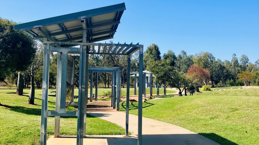
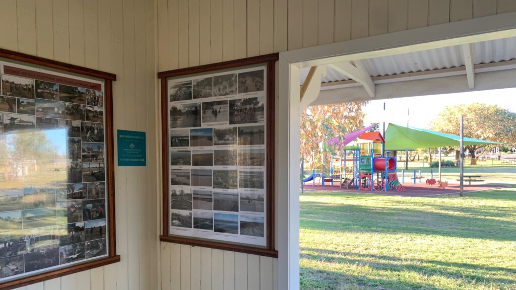
Duaringa Historical Trail takes visitors on a walking tour of 20 historical buildings and landmarks. Interpretive signage provides insight and reflection on the town’s rich history. Pocket guides are available from the Tourism Centre or click here.
Mackenzie Park is home to the unique Budgeroo or Duaringa stringy bark tree. These trees were of great cultural significance to the early Aboriginal community, who used its bark to make rope, baskets and building materials.
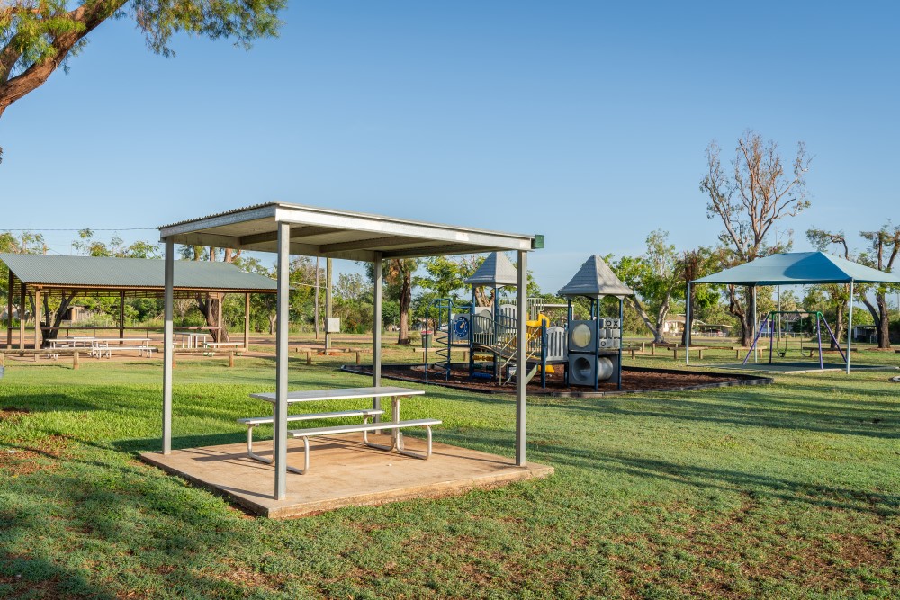
Camping at Mackenzie Park is permitted for up to 48 hours with a gold coin donation (at the Historical Museum and Tourism Association). Amenities at the camp ground include hot showers, toilets, dump point, access to potable water, free WiFi, undercover picnic tables, fire pits and a huge playground for the kids.
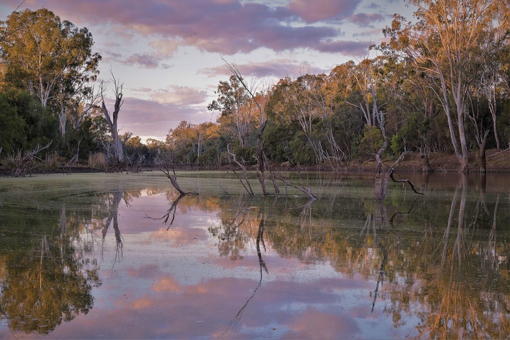
Mackenzie River Crossing (pictured) is known to the locals as Duaringa Beach due to the large sandy banks on the southern side of the river. Huge paperbark trees overhang the river, creating a great shady spot for a day trip, where you can swim, fish, kayak and watch the bird life. The Mackenzie River Crossing is approximately 20km north of Duaringa on the unsealed Apis Creek Road. A 4WD is recommended for access onto the sandy river banks and it’s not suitable for caravans.
FUN FACT: Australian Country music performer Melinda Schneider filmed part of her music video Real People in Duaringa.
HANDY LINKS
Explore More…
PHOTO CREDITS: Central Highlands Regional Council, Nathan White Images, My Style Photography by Lionel Kavanagh.

